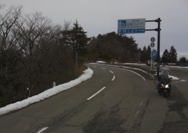
This is a live camera installed near Koya Ryujin Skyline Gomadanzan in Ryujin Village, Tanabe City, Wakayama Prefecture. At an altitude of approximately 1,282m (in front of the Goma-san Sky Tower store), you can check the video in the direction of Ryujin Village and Koya Town. Distributed by Ryujin Tourism Association. Koya Ryujin Skyline is a mountain road with a total length of approximately 42.7 km that connects Mt. Koya and Ryujin Onsen. You can also check the weather forecast, rain cloud radar and map.
watch live camera
Live camera information
- Distribution type – Still image
- Distribution/Management – Ryujin Tourism Association
- Live camera installation location – 1. Approximately 1,282m above sea level (in front of Gomasan Sky Tower store) towards Ryujin Village 2. Approximately 1,282m above sea level (in front of Gomasan Sky Tower store) towards Koyacho
Weather in Tanabe City, Wakayama Prefecture
Rain cloud radar in Tanabe City, Wakayama Prefecture

雨雲レーダー - Yahoo!天気・災害
全国各地の実況雨雲の動きをリアルタイムでチェックできます。地図上で目的エリアまで簡単ズーム!
weather.yahoo.co.jp
Map of Ryujin Village, Tanabe City, Wakayama Prefecture (Google Maps)
- View Google Maps