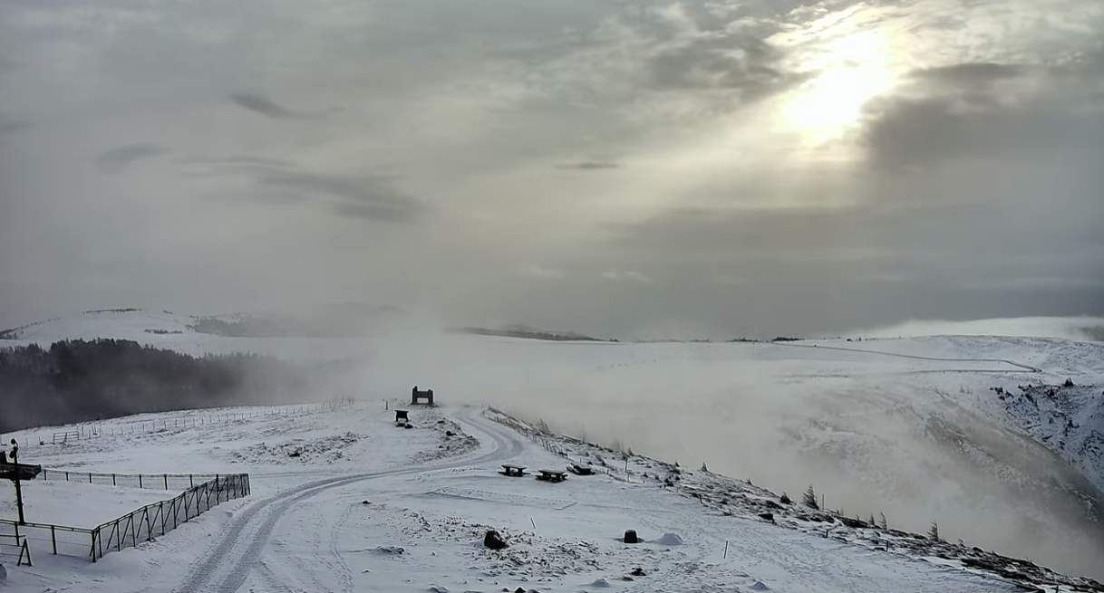
This is Utsukushigahara/Ogatashira live camera installed in Utsukushigahara, Matsumoto City, Nagano Prefecture. From the summit of Mt. Ogato (2,034 m above sea level), you can see Mt. Yarigatake, Mt. Jonen, and the farm (facing east), and from the camera installed in the southeast direction, you can see live images of Mt. Tateshina, Mt. Yatsugatake, Mt. Fuji, the Southern Alps, and the Central Alps in the distance. You can take a look.
Utsukushigahara is a plateau that straddles Matsumoto City, Ueda City, and Nagawa Town, Ogata District, Nagano Prefecture. Ogatou is the highest point in Utsukushigahara at 2,034m, and other mountains include Ougahana (2,008m), Mt. Chausu (2,006m), and Mt. Ushibushi (1,990m). Utsukushigahara Plateau refers to the area of plateau at an altitude of around 2,000m that includes these mountains.
watch live camera
Live camera information
- Distribution type – video
- Distribution/Management – Ogatou Camera (YouTube Channel)
- Installation location – Mt. Utsukushigahara-Ogato, Matsumoto City, Nagano Prefecture (altitude 2034m)
Weather in Matsumoto City, Nagano Prefecture
Rain cloud radar in Matsumoto City, Nagano Prefecture

Nagano Prefecture weather forecast
Map of Iriyamabe, Matsumoto City, Nagano Prefecture (Google Maps)
- View Google Maps