This is a live camera installed at the upstream and downstream of Sameura Dam in Tai, Tosa Town, Kochi Prefecture, at the left bank observation deck upstream of Sameura Dam, and at the confluence of three rivers at Sameura Dam.
You can see Sameura Dam, Lake Sameura, Yoshino River, Gyomi River, and Jizoji River. Distributed by Ikeda General Management Office. You can also check the weather forecast, rain cloud radar and map.
watch live camera
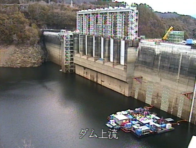
- View live camera ① (upstream)
- View live camera ② (downstream)
- View live camera ③ (Upstream left bank observation deck)
- View live camera ④ (Saameura Dam 3 river confluence)
Live camera information
- Delivery type – Still image
- Distribution/Management – Ikeda General Management Office
- Installation location – Sameura Dam, Tai, Tosa-cho, Tosa-gun, Kochi Prefecture, 781-3521
Weather in Tosa, Kochi
Rain cloud radar in Tosa, Kochi

雨雲レーダー - Yahoo!天気・災害
全国各地の実況雨雲の動きをリアルタイムでチェックできます。地図上で目的エリアまで簡単ズーム!
weather.yahoo.co.jp
Map of Tai, Tosa, Kochi (Google Maps)
- View Google Maps