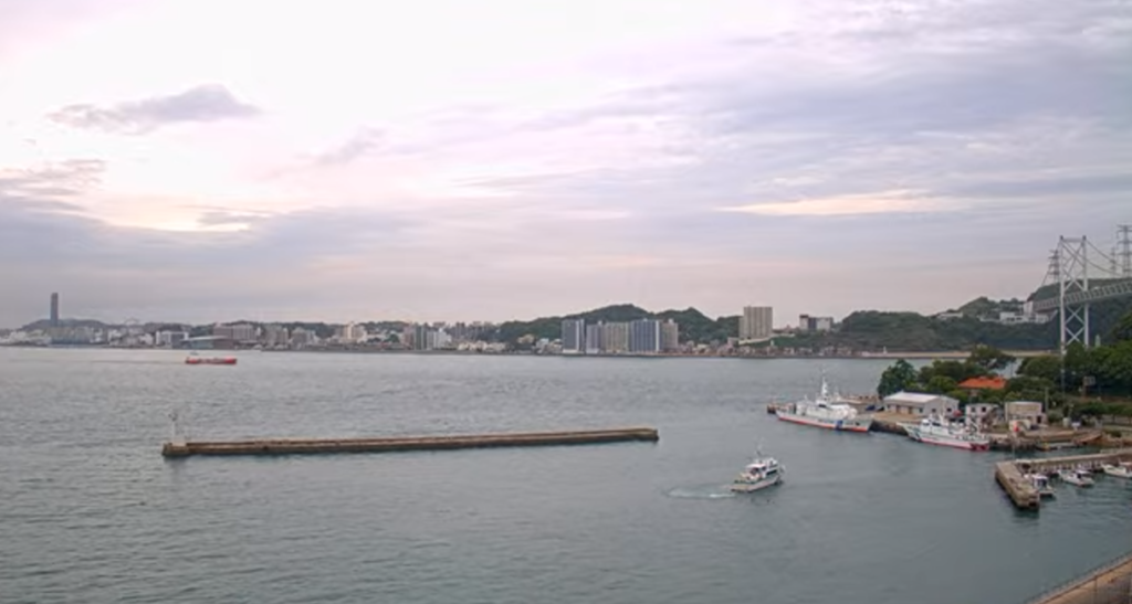
This is a live camera installed on the Moji side of Moji, Kitakyushu City, Fukuoka Prefecture, and the Kanmon Straits Marine Traffic Center in Matsubara, Moji Ward. You can see the Kanmon Straits, Kanmon Bridge, Kanmon Expressway, National Route 9, ships, the Kanmon Straits Fireworks Festival, and the Oseto area. It is operated by SEA & SKY ch and the Japan Coast Guard. You can also check the weather forecast, rain cloud radar, and maps.
The Kanmon Straits is a strait that separates Shimonoseki City, Yamaguchi Prefecture, Honshu, and Moji Ward, Kitakyushu City, Fukuoka Prefecture, Kyushu. It is about 700 meters long and connects the Sea of Japan and the Seto Inland Sea. It has been historically important as a transportation hub, and the Kanmon Tunnel and Kanmon Bridge have been built there.
View live camera
- View live camera 1 (Moji Port)
- View live camera 2 (Kanmon Straits Vessel Traffic Center)
- View live camera 3 (Shimonoseki City)
Live Camera Information
Live Camera ①
- Distribution type – Video
- Distribution and management – SEA & SKY ch
- Installation location – Mojiko, 9 Minatomachi, Moji-ku, Kitakyushu, Fukuoka Prefecture, 801-0852
Live Camera②
- istribution type – Video
- Distribution and management – Japan Coast Guard
- Location – Kanmon Straits Maritime Traffic Center, 2-10-11 Matsubara, Moji-ku, Kitakyushu, Fukuoka Prefecture, 800-0064
Live Camera ③
- Distribution type – Video
- Distribution and management – Shinko Manufacturing Co., Ltd.
- Installation location – 3-1-3 Teshima Temachi, Shimonoseki City, Yamaguchi Prefecture, 750-0076 Shinko Manufacturing Co., Ltd.
Weather forecast for Kitakyushu City, Fukuoka Prefecture
Rain cloud radar in Moji Ward, Kitakyushu City, Fukuoka Prefecture
Map of Minatomachi, Moji Ward, Kitakyushu City, Fukuoka Prefecture (Google Maps)
- View Google Maps
