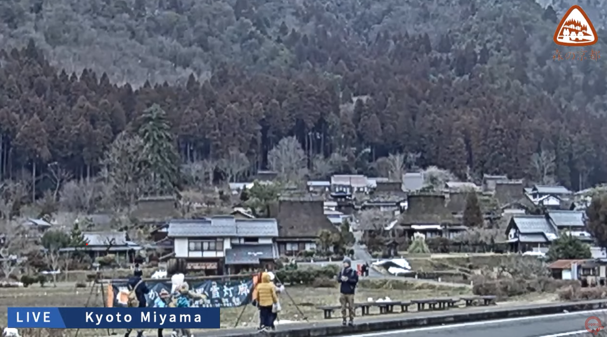
Miyama Kayabuki no Sato Live Camera (Miyamachokita, Nantan, Kyoto)

Miyama Kayabuki-no-sato Nantan
sample image
Advertisements

This is a live camera installed at the Yurari Information Center in Kitano Chii-no-Sato, Miyama-cho, Nantan City, Kyoto Prefecture. You can see Miyama Kayabuki-no-Sato Kitamura, Kyoto Prefectural Route 38, and the Yura River. It is distributed by agataJapan. You can also check the weather forecast, rain cloud radar and map.

Miyama Kayabuki-no-Sato is a traditional village located in Kitamura, Miyama-cho, Nantan City, Kyoto Prefecture. Of the approximately 50 houses in the village, 39 are thatched-roof buildings built between the Edo and Meiji periods. In 1993, it was designated as a nationally important traditional buildings preservation district, and is characterized by its unique architectural style called “Kitayama-gata minka.” At the Miyama Folklore Museum, you can experience the life of a farmer 200 years ago, and the beautiful scenery of the Yura River and Kitayama cedars is a tourist spot that conveys the original Japanese landscape to the present.

watch live camera

Live camera information

  • Distribution type – video
  • Distribution/Management – agataJapan
  • Location – Chii-no-sato Information Center Yurari, Kita, Miyama-cho, Nantan-shi, Kyoto 601-0712
  • Related site – Kyoto Miyama Kayabuki no Sato
Advertisements

Weather in Nantan City, Kyoto Prefecture

Rain cloud radar in Nantan City, Kyoto Prefecture

雨雲レーダー - Yahoo!天気・災害
全国各地の実況雨雲の動きをリアルタイムでチェックできます。地図上で目的エリアまで簡単ズーム!
Advertisements

Map of Miyamachokita, Nantan, Kyoto (Google Maps)

  • View Google Maps

Related videos of Miyama Kayabuki no Sato

error: Content is protected !!